South West Scotland |
Page Updated 25/01/2018
|
I've added an article on Roads and Maps at the bottom of the page.

Mull of Galloway
General Links for SW ScotlandDumfries and Galloway Online
Useful source of information but listings have to be paid for, so will not be complete. On the other hand, some community based websites aren't always up-to-date and may list places that have closed down. Dumfries and Galloway Council Has useful information and links, bt like most council sites is large and not always easy to navigate. The above link is to the Cycling page. People and Places in Kirkcudbrightshire A wide ranging website with pages and articles on all aspects of life in the former county of Kirkcudbrightshire also known as the Stewartry - the central part of Dumfries and Galloway roughly between the rivers Nith and Cree. Dumfriesshire Companion A directory of virtually every settlement in Dumfriesshire, which also has pages on Telford, Burns, Carlyle and Hugh MacDiarmid Undiscovered Scotland I have links to many of their individual pages, this one is to their interactive map of the South West - Dumfries and points east are in their Southern Area Relevant Search Scotland I've linked to their interactive map of the SW. Galloway Forestry Park Some useful links for the 300 square mile park at the heart of the area. Forestry Commission Scotland Link is to their page on the 7stanes Mountain Bike trails Visit Southern Scotland Some useful lins, but not always very up-to-date Visit South West Scotland Again some useful links, but accommodation listngs is restricted to their members. 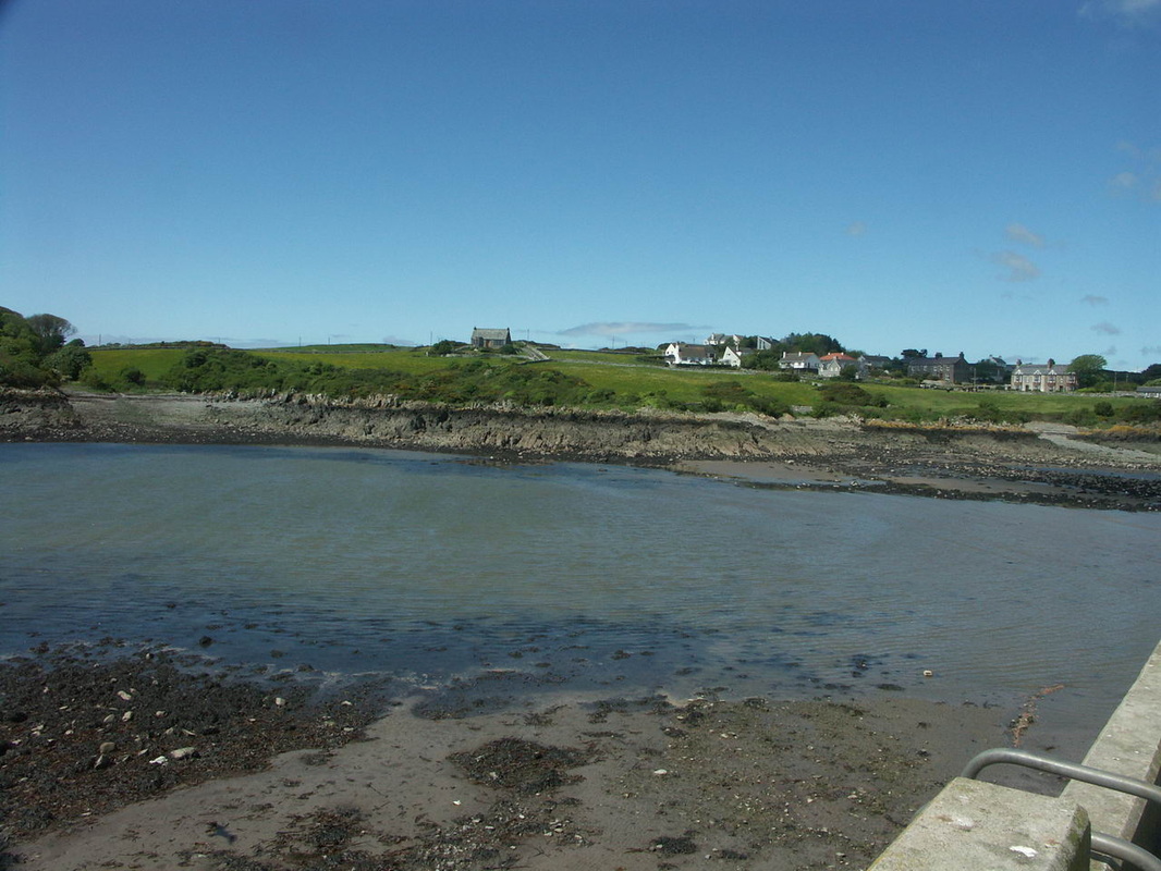
Isle of Whithorn
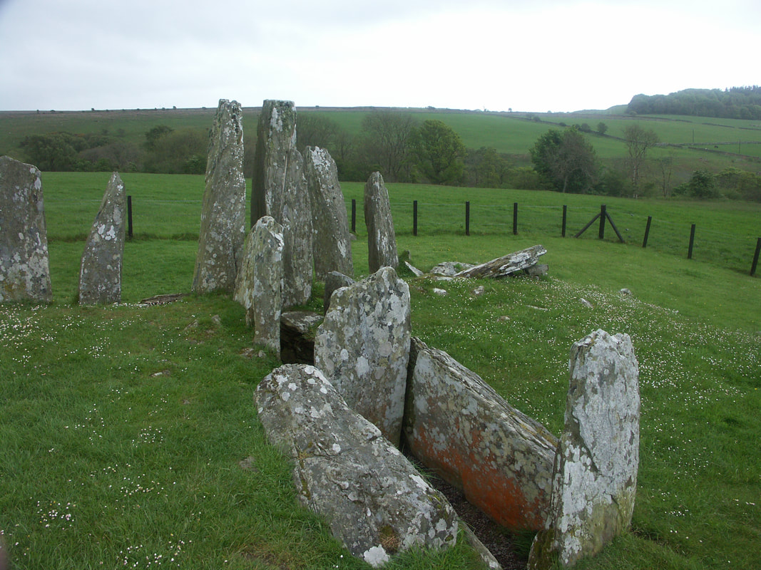
Cairnholy

Soulseat Loch, Castle Kennedy
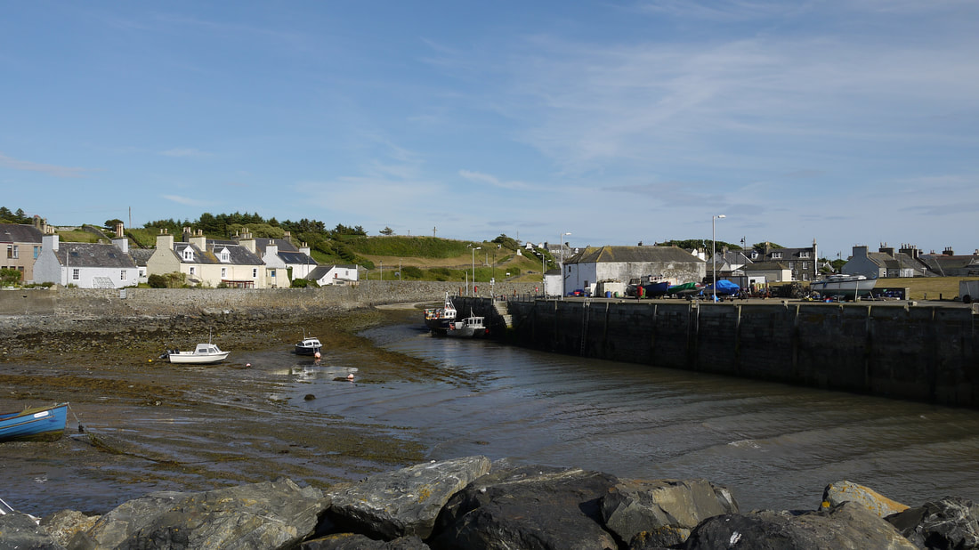
Port William
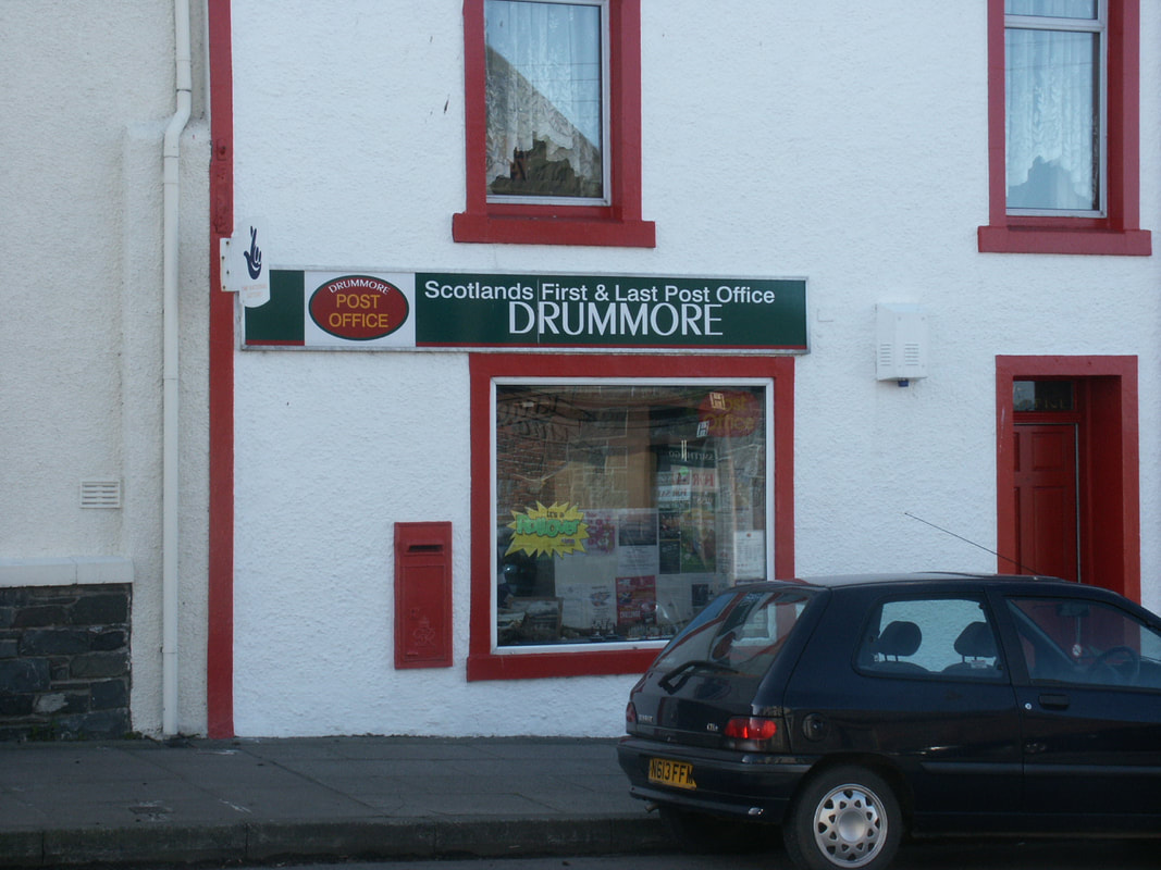
Drummore
|
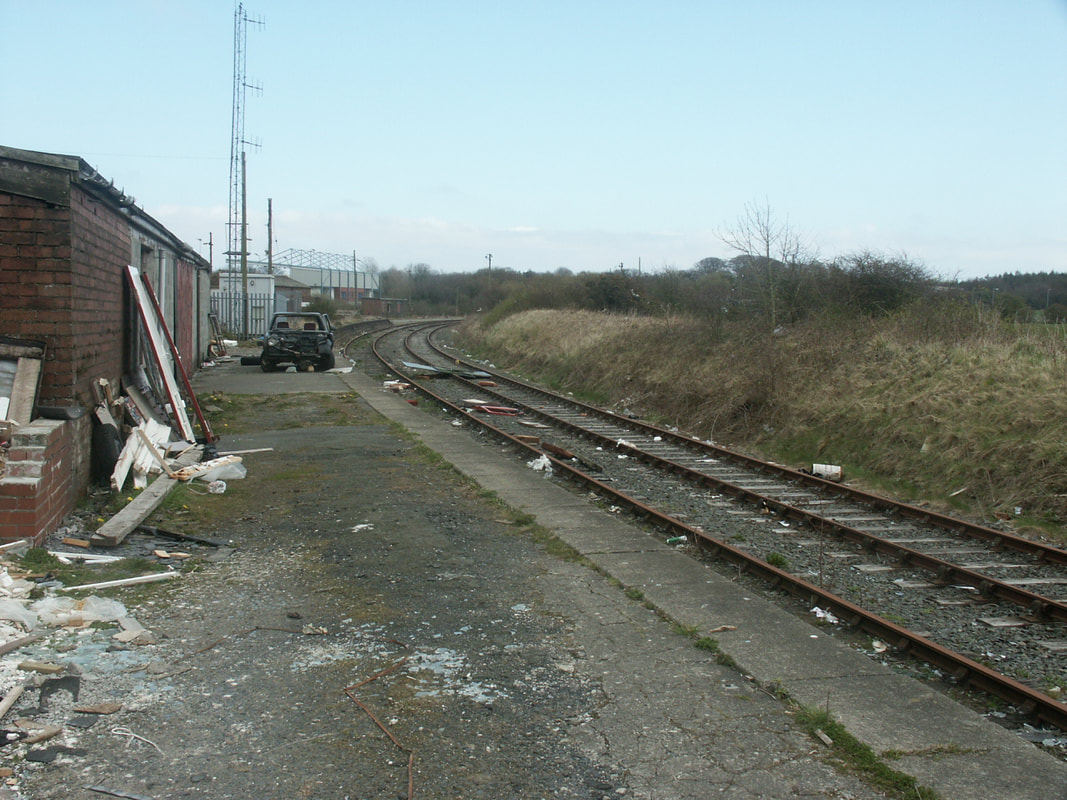 Stranraer Town Station (disused) Stranraer Town Station (disused)
The South coast of Scotland (yes it does have one) is punctuated by the mouths of the main rivers draining the Southern Uplands. These inlets penetrate deep into the land and many of the main towns of the area are situated at the lowest crossing points and/or highest navigable points available - Annan on the River Annan, Dumfries on the River Nith; Dalbeattie on the Urr Water; Kirkcudbright on the River Dee; Gatehouse of Fleet; and Newton Stewart on the Cree. This area is roughly contiguous with the modern local authority area of Dumfries and Galloway - comprising the historical counties of Wigtownshire, Kirkcudbrightshire and Dumfriesshire.
Travelling across the south of Scotland therefore has to be well inland or lengthened by following a jagged coast and avoiding the peaks of the Uplands that extend towards the coast - as well as the 9 mile long Loch Ken. Between Dumfries and Newton Stewart are two roads which take a differing approach. The A75 trunk road goes South, following the coast after Gatehouse of Fleet, while the A712 goes north through New Galloway. The railway used to take a variation of this northern route, but crossing Loch Ken by a viaduct to reduce the distance. However, the railway was a victim of Dr Beeching and his corrupt master (Minister of Transport, Ernest Marples, whose family owned a road haulage company, and who ultimately fled the country to avoid being arrested for fraud). The rail route to Stranraer now takes a 65 mile northerly diversion through Kilmarnock, so not surprisingly most people use the A75, making it a road to avoid so far as is possible for cyclists. {Though as argued here, the route of the railway could have been much better, and helped its survival chances}. The other problem being that very little of the old rail route has been made available as a cycle route - a couple of mles out from Dumfries, and another couple north of Creetown, but otherwise the opportunity to use the old route has been wasted. All of which means that getting to Scotland's most southerly distillery, Bladnoch, by bike is a considerable effort. However, Stagecoach bus 500 from Dumfries to Stranraer now carries bikes. There is now another distillery up and running in the South West - Annandale which is much easier to get to. The surviving railway to Dumfries follows the valley of the Nith from New Cumnock - but even that line has been stripped of stations, with nothing in the 25 miles between Sanquhar and Dumfries - there aren't that many settlements, but the loss of the station at Thornhill seems to be a major mistake that should be rectified. The main line only has a station at Lockerbie - and not too many trains stop there. The Stranraer line also has a long southern gap in stations - more understandable here, as it runs through open country (there were only ever two stations between Barrhill and Calloch Junction where the line joins that from Dumfries), but its remote harbour station at Stranraer must surely be relocated back to the centre of the town (the town station was on the line to Portpatrick) now that ferries no longer run from Stranraer. The regeneration of the railway in the Borders has surely shown the need for a similar approach in the SW. The re-opening of Dumfries to Stranraer might be difficult and expensive, but the provision of a few extra stations on existing infrastructure would help. The area also has a good representation of ancient stone monuments from the easily accessible Twelve Apostles just outside Dumfries to the more impressive Cairnholy I and II much further west. Another major thing to note for the SW is the wilderness, emphasised by the designation of the Galloway Forest Park as one of only 4 "Dark Sky Parks" in the western world. As the eastern part of this area was close to the English border, the land was subject to frequent invasion, especially during the wars of Scottish Independence. The land was laid waste on many occassions, and law enforcement in the border area was poor, so even when there weren't formal skirmishes between the Scots and English the inhabitants of each side of the border were prone to reiving - cattle-rustling, murder, arson, rape, pillage, hostage-taking. The years of the early battles between nations saw the establishment and destruction of many castles, many with ruins still visible. The later Border Reivers built many Tower Houses as a defence - and to securley hold the plunder and hostages, when they went reiving. Many of the later towers were built as "L-Plan" castles. Again many were ultimately ruined, but a good number have survived and/or been restored - some in private hands, some as hotels or self-catering accommodation; and a few are open to the public.
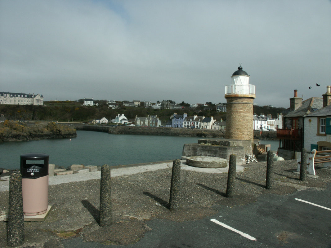
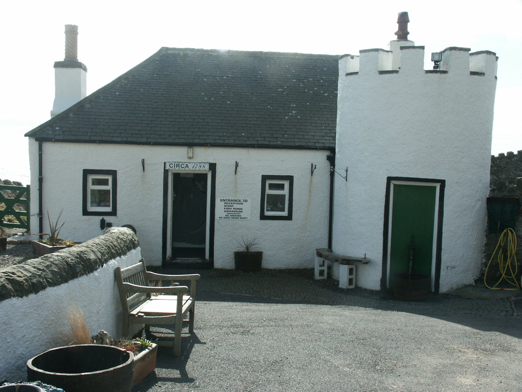
Portpatrick
|

Index to South West Scotland
Annan: Brydekirk, Carrutherstown, Clarencefield, Cummertrees, Powfoot, Ruthwell
Castle Douglas: Crocketford; Crossmichael; Parton; New Galloway; St John's Town of Dalry, Carsphairn
Dalbeattie: Kippford; Rockliffe; Kirkgunzeon; Beeswing; Haugh of Urr
Dumfries: Troqueer; Kingholm Quay; Glencaple; Caerlaverock; Lincluden; New Abbey; Newbridge; Locharbriggs; Tinwald; Torthorwald
Gretna: Eastriggs; Kirkpatrick-Fleming; Kirtlebridge; Rigg; Longtown
Kirkcudbright: Borgue, Gatehouse of Fleet; Tongland; Twynholm, Dunderran, Auchencairn, Palnackie
Lochmaben: Ae; Amisfield; Dalton; Hightae; Templand
Lockerbie: Ecclefechan; Beattock; Moffat; Johnstonebridge; Newton Wamphray
Newton Stewart: Carsluith; Creetown; Kirkcowan; Glentrool and Cairnholy & Glenquicken Stone Circles
Portpatrick: Kirkcolm; Leswalt; Stoneykirk; Sandhead; Ardwell; Port Logan; Drummore; Kirkmaiden; Mull of Galloway
Sanquhar: Crawick, Kikconnel; Mennock; Eliock; Leadhills; Wanlockhead
Stranraer: Glen Luce; New Luce; Glenwhilly; Dunragit; Cairnryan; Castle Kennedy; Innermessan
Thornhill: Carronbridge; Durisdeer; Closeburn; Dalswinton; Kirkton; Penpont; Moniaive; Dunscore; Irongray; Auldgirth; Holywood
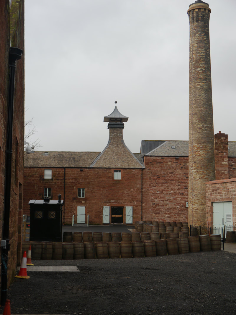
Wigtown: Bladnoch; Garliestown; Port William; Monreith; Whithorn; Isle of Whithorn and Torhouskie Stone Circle
Castle Douglas: Crocketford; Crossmichael; Parton; New Galloway; St John's Town of Dalry, Carsphairn
Dalbeattie: Kippford; Rockliffe; Kirkgunzeon; Beeswing; Haugh of Urr
Dumfries: Troqueer; Kingholm Quay; Glencaple; Caerlaverock; Lincluden; New Abbey; Newbridge; Locharbriggs; Tinwald; Torthorwald
Gretna: Eastriggs; Kirkpatrick-Fleming; Kirtlebridge; Rigg; Longtown
Kirkcudbright: Borgue, Gatehouse of Fleet; Tongland; Twynholm, Dunderran, Auchencairn, Palnackie
Lochmaben: Ae; Amisfield; Dalton; Hightae; Templand
Lockerbie: Ecclefechan; Beattock; Moffat; Johnstonebridge; Newton Wamphray
Newton Stewart: Carsluith; Creetown; Kirkcowan; Glentrool and Cairnholy & Glenquicken Stone Circles
Portpatrick: Kirkcolm; Leswalt; Stoneykirk; Sandhead; Ardwell; Port Logan; Drummore; Kirkmaiden; Mull of Galloway
Sanquhar: Crawick, Kikconnel; Mennock; Eliock; Leadhills; Wanlockhead
Stranraer: Glen Luce; New Luce; Glenwhilly; Dunragit; Cairnryan; Castle Kennedy; Innermessan
Thornhill: Carronbridge; Durisdeer; Closeburn; Dalswinton; Kirkton; Penpont; Moniaive; Dunscore; Irongray; Auldgirth; Holywood
Wigtown: Bladnoch; Garliestown; Port William; Monreith; Whithorn; Isle of Whithorn and Torhouskie Stone Circle
Roads and Maps
Prior to the establishment of Turnpike Trusts in the 17th and 18th centuries, the creation and maintenance of roads in Britain had been a somewhat haphazard affair since the end of Roman occupation. Roads were latterly the responsibility of the Parish, and were maintained by Statute Labour - an obligation to provide your labour for no payment. If you were rich enough you could pay someone else to do your statutory duty. This system wasn't terribly efficient, and the Parishes were wont to concentrate on local roads rather than roads between major towns, which were becoming more important.
Turnpike Trusts were established by Acts of Parliament, first in England and Wales from 1663, then in Scotland after the Act of Union in 1707, to construct and maintain such roads - and collect tolls to pay for them. In Scotland Military Roads had been constructed in the Highlands to seek to control the area; and in the SW - the road from Bridge of Sark (the Border) to Portpatrick to carry the mail coach to Ireland. This road would also become the responsibility of the Turnpike Trusts. Local roads remained the responsibility of the Parish - and statute labour.
The Trusts improved roads and built bridges and from 1801 as a result of a plan drawn up by Thomas Telford working for the British Commission of Highland Roads and Bridges, thousands of miles of roads and bridges in the Highlands were constructed or improved - he also undertook work in the Lowlands including 184 miles of roads and many bridges including the one across the Dee at Tongland. Telford had developed techniques, known as Telford Pitching, that improved considerably on the previous construction of roads, paying particular attention to drainage, but it was John McAdam who would make the real breakthrough in the 1820s, and his methods using small (no bigger than 2 cm) top stones became widely used. Further improvements were made using a mixture of stone dust and water to fill the gaps between the stones helped provide a smoother surface, but dust was still a problem until in 1903 coal tar was used to bind the dust and provide a surface and tarmacadam, or tarmac was born.
The emergence of the Railways abstracted money from the Turnpike Trusts, and many of them had severe debts - mortgaged against future revenues, and in 1878 the Roads & Bridges Act abolished the turnpikes and statute labour placing the management and maintenance of highways in counties in a County Road Trust, and in burghs in burgh councils. The 1889 Local Government (Scotland) Act transferred responsibility from County Road Trusts to County Councils.
Early maps weren't too much help in keeping track of roads - they were often little more than an attempt to show the location of villages, towns and major rivers. Roads are often not marked, and North wasn't necessarily at the top. This was still the case in 1745. The Roy Military Map of 1750 showed roads as barely legible lines. A rudimentary road map from 1776 shows a nationwide network of roads. The 1804 and 1832 maps the area around Dumfries in more detail. But the first OS maps weren't until 1847 - and marks the future A76 as Dumfriesshire Trust - referring to the Turnpike Trust responsible for it.
Photos on this page were taken by me. Click on photo to enlarge. Full size versions available on Flickr
